Archive Item
Rutland city map early buildings
Accession Number
RFLA.SWAN.DOC.2026.00510
Item Name
Rutland city map early buildings
OCR Text
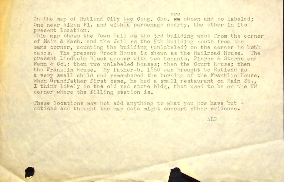
{"page_1": " are\nOn the map of Rutland City two Cong. Chs. are\nOne near Aiken Pl. and with a parsonage nearby, the other in its\npresent location.\nThis map shows the Town Hall as the 3rd building west from the corner\nof Main & Wash. and the Jail as the 5th building south from the\nsame corner, counting the building (unlabeled) on the corner in both\ncases. The present Lindholm Block appear with two tenants, Pierce & Sterns and\nPenn & Co.: then two labeled houses; then the Franklin House,\na very small child and remembered the burning of the Franklin House.\nWhen Grandfather first came, he had a small restaurant on Main St.,\nI think likely in the old red store Bldg. that used to be on the NW\ncorner where the filling station is.\nThese locations may not add anything to what I\nnoticed and thought the map data might support other\nevidence.\nALP "}
Created At
2026-07-15 20:50:14
Tag Category + Tag
general-history-maps
Tag Categories
general-history
Tags
maps
Tag Texts
General History: Maps
Your library on the go!
ebooks & audiobooks through Libby & The Palace Project
online magazines through Libby
streaming video through Kanopy & Biblio+
streaming music through Freegal